Nepartak approaching Japan, may make landfall
Nepartak approaching Japan, may make landfall
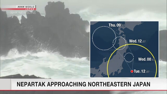
Tropical storm Nepartak is approaching Japan. Weather officials say it will make landfall in northeastern Japan from late Tuesday to early Wednesday.
Japan’s Meteorological Agency says Nepartak was spotted above waters east of Japan at 6 a.m. Japan time on Tuesday, while heading west-southwest at a slow speed.
It has an atmospheric pressure of 990 hecto-pascals in its center, packing winds of up to 72 kilometers per hour and maximum gusts of 108 kilometers per hour.
Winds of more than 54 kilometers per hour are blowing within 600 kilometers northeast of the center and within 390 kilometers southwest of the center.
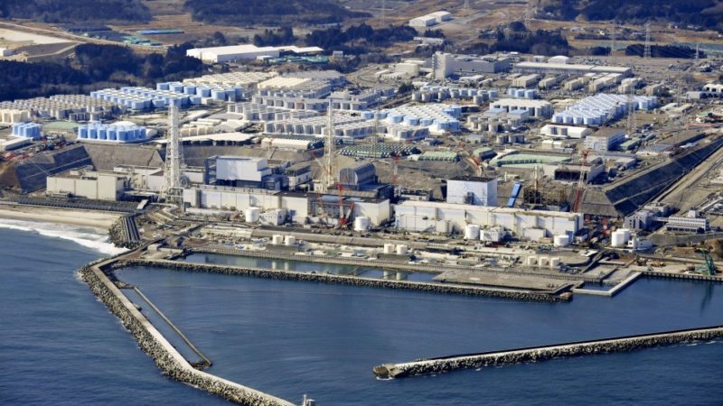
Downpours, accompanied by thunder, are likely in the Tohoku region. Heavy rain is also expected in Kanto-koshin and Hokuriku regions.
The maximum rainfall forecast in the 24 hours through early Wednesday morning will be 200 millimeters along the Pacific Coast of the Tohoku region.
Winds of up to 72 kilometers per hour and maximum gusts of 108 kilometers per hour are forecast in the Kanto region on Tuesday and may cause rough seas in the Tohoku region through Wednesday.
Officials are warning of mudslides, floods in low-lying areas, and swollen rivers.
Title: Nepartak approaching Japan, may make landfall
Sourced From: www3.nhk.or.jp/nhkworld/en/news/20210727_04/
Published Date: 07/31/21